Mount Twynam: Everything You Need to Know Before Your Climb
Mount Twynam is Australia’s third-highest mountain (2,195 m) in Kosciuszko NationaL Park, NSW. The standard route runs from Guthega, covers roughly 15–17 km return, takes 5–6 hours, and is rated a hard, off-track alpine hike suited to experienced walkers not true beginners. The best season is December to April, and a vehicle entry permit ($17–$29/day) is required if you’re driving into the park.
Where Is Mount Twynam Located?
Mount Twynam sits in the Main Range of Kosciuszko National Park, in the Snowy Mountains of New South Wales, Australia. It’s part of the same alpine massif as Mount Kosciuszko (Australia’s highest peak) and Mount Townsend, and at 2,195 m it ranks as the third-highest summit on the mainland.
The mountain is most commonly accessed from Guthega, a small alpine village and trailhead about a 30–40 minute drive from Jindabyne. It can also be approached from Charlotte Pass, either as part of a loop with nearby Little Twynam or as a leg of the longer Main Range/Snowy Mountains highest-peaks routes.
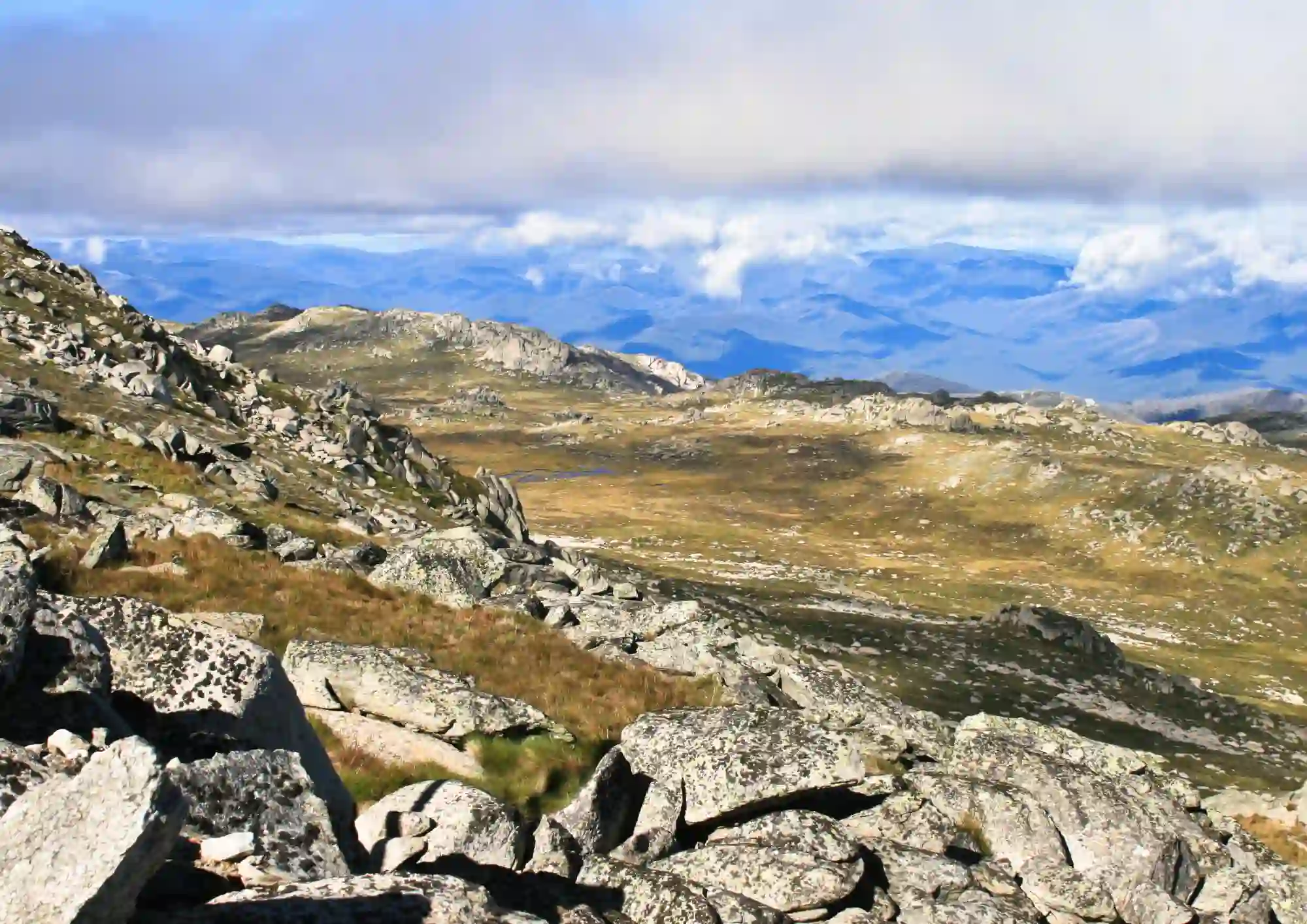
The Mount: How Do You Get to the Summit?
The classic beginner-to-intermediate approach is the Guthega to Mount Twynam return route:
- Start at Guthega and follow the Snowies Alpine Walk trail along the Snowy River.
- Cross the Snowy River historically via the Blue Cow Creek flying fox crossing near Illawong Lodge (check current NPWS alerts, as this trackhead area has been subject to construction closures).
- Pass Illawong Lodge, cross the suspension bridge, and begin the climb up the ridge past Pounds Creek Flats.
- Climb off-track to the summit, where you’re rewarded with 360-degree panoramic views across the Main Range.
- Retrace your steps back to Guthega, or extend the day with a detour to a nearby alpine lake or the Consett Stephen Pass Mount Tate circuit for a longer loop (around 23 km).
Distance estimates vary slightly by source — roughly 15.4 km (9.6 mi) via AllTrails’ Guthega route, up to 16.6 km per other trip reports — with about 760 m of elevation gain. Budget 5 to 6 hours for the return trip.
How Difficult Is Mount Twynam?
Mount Twynam is graded as a hard, Grade 5 walk the most demanding tier in the Australian bushwalking grading system. Here’s what that means in practice:
- No formed track for the final approach you’re navigating open alpine terrain, not following a marked path.
- Navigation skills are essential. A map, compass, and/or GPS device (not just a phone app) are strongly recommended, since fog and low cloud can eliminate visibility quickly.
- River and creek crossings add technical difficulty and can be dangerous after rain or snowmelt.
- Dense alpine scrub on some approaches (particularly via Charlotte Pass) means gaiters are useful, and the “trail” can involve genuine bush-bashing.
- Self-reliance is mandatory. This is remote terrain with limited signage and no mobile reception in many sections.
despite “beginner guide” being a common search term for this mountain, Mount Twynam is not a true beginner’s hike. It’s better suited to fit walkers with some prior bushwalking or alpine hiking experience, ideally hiking with someone who has done off-track navigation before. If you’re new to hiking, consider building up on the marked Mount Kosciuszko summit walk first.
Best Time to Climb Mount Twynam
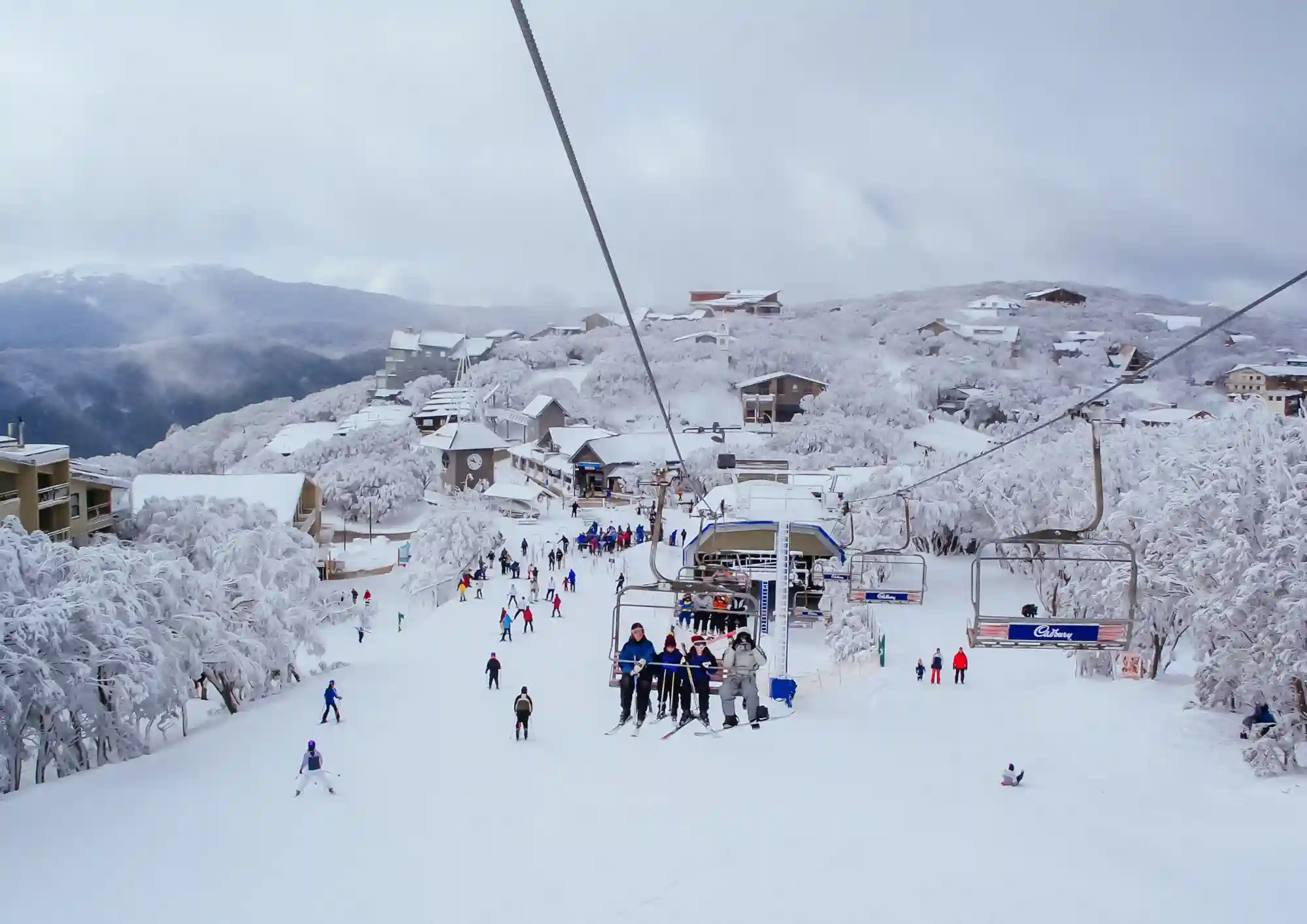
- December to April (Australian summer/early autumn) is the recommended window, when the route is mostly snow-free and daylight hours are longest.
- March–April is often cited as the ideal stretch, balancing settled weather with fewer crowds.
- Winter (June–October) buries the route in snow and ice, turning it into a serious ski touring and mountaineering objective rather than a hiking trip only attempt this season with alpine experience, avalanche awareness, and proper equipment.
- Regardless of season, alpine weather changes rapidly. Pack for four seasons in one day, even in summer.
Entry Requirements & Fees
Kosciuszko National Park is managed by NSW National Parks and Wildlife Service (NPWS), and a vehicle entry fee applies if you’re driving in (walking or cycling in is free):
- Winter peak period (June long weekend to October long weekend): $29 per vehicle per day
- Rest of the year: $17 per vehicle per day
- Motorcycle and bus-passenger rates also apply if relevant to your group.
- Passes can be bought online in advance, at NPWS visitor centres, at entry stations on Kosciuszko Road and Alpine Way, or via the Park’nPay app.
- An annual pass is worth it if you’re visiting more than a couple of times a year.
- No special hiking permit is required for a day walk to Mount Twynam beyond the standard park entry fee but always check the NPWS website for current track closures and alerts before you go, since trailhead access (especially around Guthega) has been affected by construction works in the past.
Tips for First-Time Travelers
- Check NPWS alerts before you leave — track and trailhead conditions change with construction, weather, and fire activity.
- Carry navigation tools you can use without phone signal — printed map, compass, and a charged GPS unit.
- Tell someone your route and expected return time.
- Start early. Alpine weather deteriorates faster in the afternoon, and you want daylight margin for the return leg.
- Pack layers, a windproof/waterproof shell, and extra food and water — there’s minimal shelter above the treeline.
- Wear gaiters if approaching through scrubby terrain (e.g., near Charlotte Pass).
- Leave dogs at home — they’re not permitted on this trail.
- Respect the alpine environment – Kosciuszko’s alpine zone is ecologically fragile and home to threatened species; stick to durable surfaces where possible.
Everything You Need to Know
Is Mount Twynam suitable for beginners? Not really. It’s classified as a hard, off-track Grade 5 walk requiring navigation skills and self-reliance. Hikers with little prior experience should build skills on marked trails, like the Mount Kosciuszko summit walk, before attempting Twynam.
How long does the Mount Twynam hike take? Around 5 to 6 hours return via the standard Guthega route, covering approximately 15–17 km with roughly 760 m of elevation gain.
Do I need a permit to hike Mount Twynam? You don’t need a separate hiking permit, but you do need a valid NPWS vehicle entry pass if you’re driving into Kosciuszko National Park $17–$29 per vehicle per day depending on season. Entry is free if you arrive on foot or by bike.
What is the best time of year to climb Mount Twynam? December through April, with March–April often recommended for the most stable conditions and lower crowds.
Are dogs allowed on the Mount Twynam trail? No, dogs are not permitted on this trail.
How high is Mount Twynam? 2,195 m (7,201 ft), making it the third-highest peak on the Australian mainland, after Mount Kosciuszko and Mount Townsend.
Where does the Mount Twynam hike start? Most hikers start from Guthega, though a route from Charlotte Pass is also possible, including a loop that takes in nearby Little Twynam.