Laya Gasa Trek in Bhutan | Itinerary, Route, Cost & Altitude itinerary
Day 1 – Paro to Shingkarap
11 km | 4–5 hrs | 250 m ascent | Camp Alt: 3,110 m
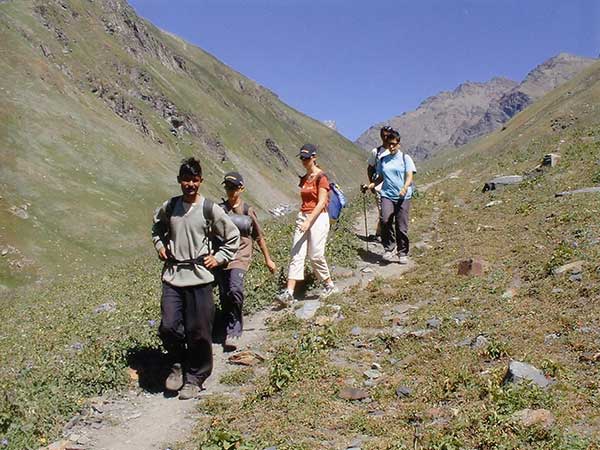
Drive to Zangkipang, the starting point, passing apple orchards and forests. Trek gradually along the Paro Chhu River, crossing streams and walking through conifer and rhododendron forests. Arrive at Shingkarap, an open meadow with a solitary
house used by highland travelers. Overnight camp at 3,110 m.
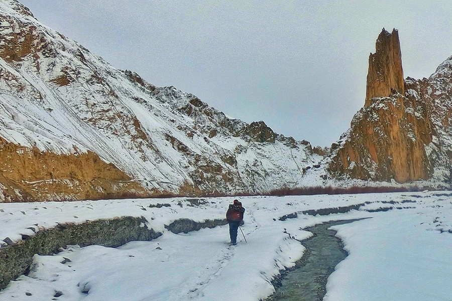
Day 2 – Sharna Zampa to Soi Thangkha
15 km | 5–6 hrs | 650 m ascent | Camp Alt: 3,750 m
Follow the Pa Chhu (Paro River) through forests of pine, oak, and spruce. After a riverside lunch, continue climbing through rhododendron forests and cross a bridge to reach the campsite at 3,750 m.
Day 3 – Soi Thangkha to Jangothang Base Camp
17 km | 4–5 hrs | 290 m ascent | Camp Alt: 4,040 m
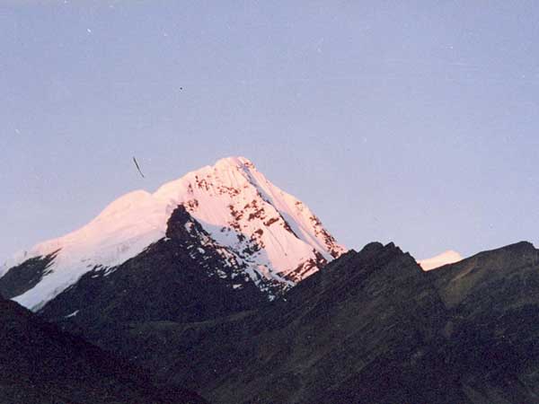
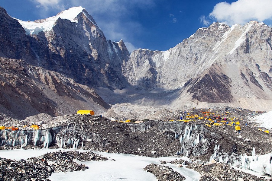
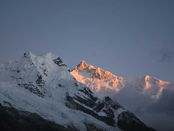
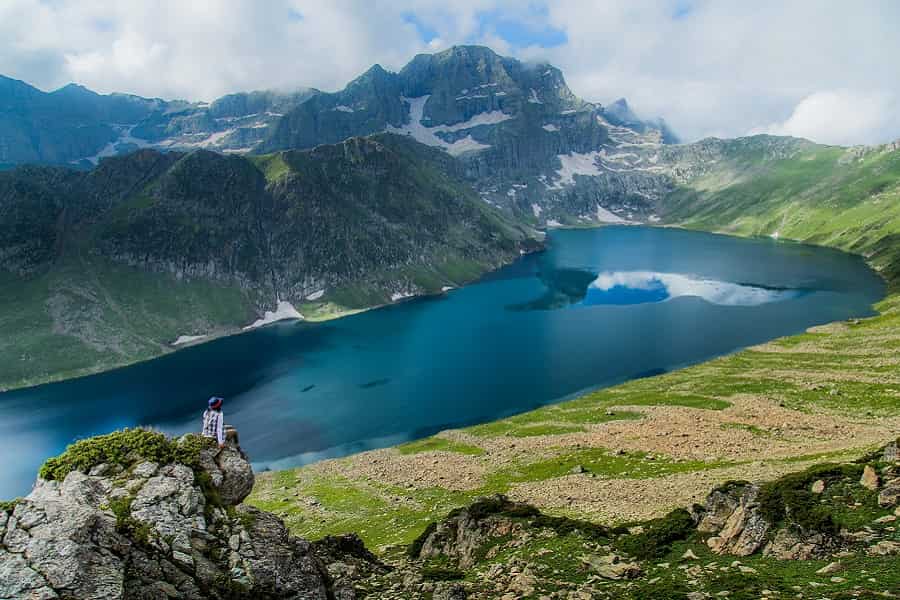
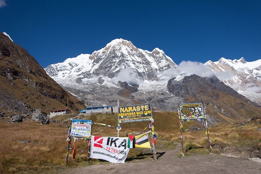
Ascend above the tree line, passing an army camp and yak herders’ settlements. Walk across plateaus and streambeds before reaching Jangothang Base Camp, one of the most stunning campsites in Bhutan, with close-up views of Mount Jumolhari (7,314 m) and Jichu Drake (6,989 m).
Day 4 – Jangothang Acclimatization & Exploration
Take an acclimatization hike north of camp, climbing up open slopes to viewpoints of Mt. Jichu Drake and Mt. Jumolhari. Wildlife sightings may include blue sheep, griffon vultures, golden eagles, and blue poppies. Rest or hike as per comfort. Overnight at Jangothang Base Camp.
Day 5 – Jangothang to Lingshi
18 km | 6–7 hrs | 830 m ascent | 860 m descent | Camp Alt: 4,010 m
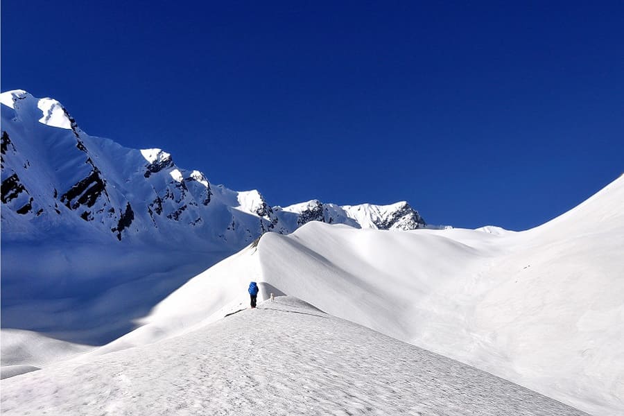
The trail climbs steadily to Ngye La Pass (4,700 m) with spectacular views of Jumolhari, Jichu Drake, and Tsherim Gang. Descend gradually into the valley, passing Lingshi Dzong, a historic fortress overlooking the village. Overnight at 4,010 m.
Day 6 – Lingshi to Chebisa
12 km | 5–6 hrs | 250 m descent | Camp Alt: 3,850 m
Enjoy a leisurely walk through yak herders’ camps and small villages. Arrive at Chebisa, a charming settlement with a beautiful waterfall. Camp beside a stream at 3,850 m.
Day 7 – Chebisa to Shoumothang
17 km | 6–7 hrs | 570 m ascent | 290 m descent | Camp Alt: 4,130 m
Climb to Gogu La Pass (4,500 m), often a place to spot blue sheep. Descend through rhododendron forests and yak pastures, before ascending to camp near a stream at 4,130 m.
Day 8 – Shoumothang to Robluthang
17 km | 6–7 hrs | 570 m ascent | 290 m descent | Camp Alt: 4,130 m
Ascend to Jari La Pass (4,700 m) with views of Mount Kangbum (6,526 m). Descend into the Tsarijathang Valley, the summer habitat of the takin. Cross streams and continue to Robluthang (4,200 m), a rocky meadow campsite.
Day 9 – Robluthang to Lingmithang
19 km | 7–8 hrs | 850 m ascent | 870 m descent | Camp Alt: 4,140 m
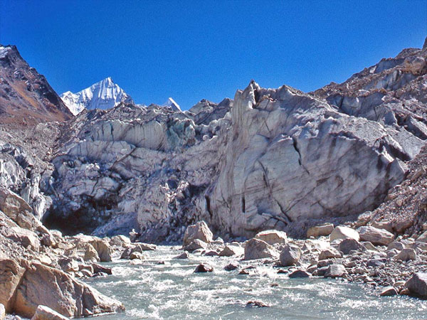
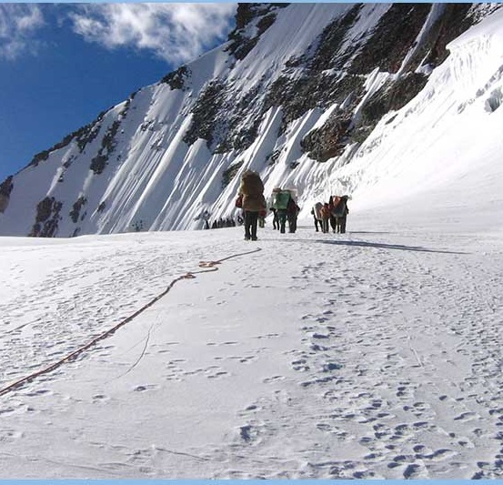
A challenging day crossing the trek’s highest pass, Shingchen La (5,005 m), with dramatic views of Gangchhenta (Tiger Mountain, 6,840 m). Descend through a rocky trail and cedar forests to Lingmithang, a picturesque riverside campsite.
Day 10 – Lingmithang to Laya
10 km | 4–5 hrs | Altitude: 3,850 m
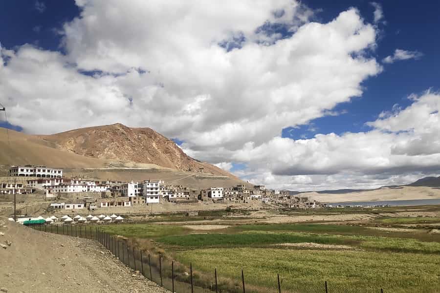
Walk through damp forests filled with moss, birdsong, and waterfalls. Arrive at Laya, Bhutan’s second-highest permanent settlement. Explore the village, where women wear distinctive bamboo hats decorated with turquoise and silver. Overnight in a farmhouse or tent.
Day 11 – Laya to Gasa, Drive to Punakha
19 km | 6–7 hrs | 950 m descent
Descend to the Mo Chhu River, crossing forests of juniper and fir. Continue to Gasa, known for its historic dzong and rejuvenating hot springs (Tshachu) perfect after the trek. From Gasa, transfer by vehicle to Punakha Valley, marking the end of the trek.